
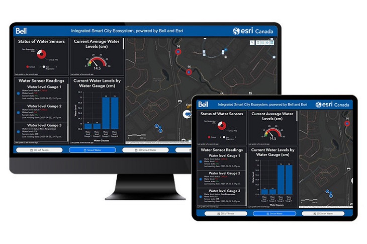
MONTREAL — Bell Canada announced today an agreement with Toronto-based Esri Canada, a leading geographic information system (GIS) provider, to create the Bell Integrated Smart City Ecosystem (shown above).
This integrated solution will combine Bell’s 5G network and Internet of Things (IoT) solutions with Esri’s real-time analytics and location intelligence capabilities “to help cities of all sizes across Canada become connected communities, empowering them to realize their smart city ambitions,” reads a press release.
The Bell Integrated Smart City Ecosystem enables Canadian communities to accelerate their digital transformations, helping to enhance decision-making and to streamline collaboration across municipal or regional departments, according to the release.
“The platform collects, integrates and displays data in one seamless end-to-end experience, enabling multiple stakeholders to make decisions from a shared view that provides broader and clearer context for all involved. Cities can customize the solution, building on top of their existing location intelligence investments, or access multiple pre-integrated IoT solutions with customized reporting and automation of processes,” the release says.
“We’re proud to partner with Esri Canada to deliver this enhanced and comprehensive solution for municipal operations management to governments across Canada,” said Jeremy Wubs, senior vice-president of marketing for Bell Business Markets, in the release.
“Combined with Bell’s leading 5G network and our proven IoT capabilities, this agreement with Esri Canada offers cities across the country a holistic platform to help them manage their critical infrastructure and services in real time.”
Bell’s portfolio of IoT solutions designed to empower smart city transformations enable “the fast and secure collection of data from multiple sources for a diverse array of applications, including water leak detection, asset management, smart waste management and energy management,” the release says.
“A city is smartest when it is using accurate and up-to-date geographic data to make decisions that affect people’s lives,” said Alex Miller, president of Esri Canada.
“The more timely that information is, the easier it is to make the right decisions. This partnership offers cities the tools they need to do that simply and easily.”
For more, please click here.