

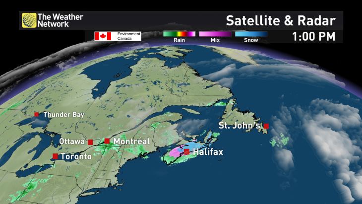
OAKVILLE, ON – The Weather Network unveiled a slick new graphic package this week that includes the ability to show weather in 3D and an hour-by-hour storm evolution.
Viewers will benefit from the enhanced map functionality and interactive visual aids that make it easier for on-air personalities to explain how the weather will impact one's activities, the network said. The 3D weather systems will allow for better active weather storytelling, while an additional model data with hour-by-hour evolution shows storm track movement, intensity of storms, and precipitation timing and amounts. During severe weather, individual thunderstorm tracks can be shown to indicate the towns in the path of the storm and the hyper-local impact of significant weather events (hail, tornado, flash flooding, etc.).
"Weather is best explained through engaging maps and rich graphics, our new weather visualization system allows us to deliver an exceptional experience to our television audience," said Martin Belanger, senior manager of TV and cross platform technologies, in the news release. "We invest in the newest technologies to ensure we're living up to our commitment to provide the most complete and accurate weather stories."